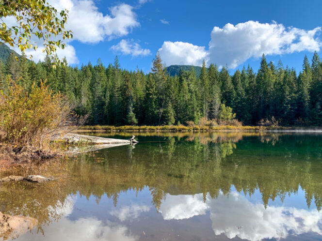
Fawn Lake. Photo: Taryn Eyton
The Four Lakes Trail at Alice Lake Provincial Park in Squamish is a great hike for a November day. The big leaf maples in the park are awash in colour, the cedars and moss glow bright green after the rain, and the trail is low enough to avoid snow. Plus you’ll get to visit four pretty lakes.
Safety First: AdventureSmart recommends bringing a backpack with essential safety and first aid gear on every hike. Check the forecast and pack extra clothing for the weather. Leave a trip plan so someone knows where you are going and when you will be back.
Trail Info: Easy; 6 km loop; 200 m elevation gain; 2 hours; dogs allowed on-leash
Getting There: From Vancouver, take Highway 99 north past Squamish. Look for signs for Alice Lake Provincial Park a few minutes north of town, then turn right at the flashing light onto Alice Lake Road. Follow the road into the park to the main day-use/beach parking lot.
The Trail: The trail network at Alice Lake Provincial Park is easy to navigate, with signs at all intersections. Bring a copy of the trail map to help keep you on course.
To start your hike, head to the far end of the main day-use/beach parking lot and walk down the road for a few minutes. At a T-junction, turn left and go through a gate into the campground. Stay on this road as you walk through the campground up a small hill. At the top, reach the campground gatehouse and the main park road. Cross the road and pick up the Four Lakes Trail on the other side.
Hike through the forest for a few minutes to a junction at the end of Stump Lake. You can choose either path since they meet up again at the far end of the lake. The path to the left is slightly longer and climbs a few hills. The trail to the right is shorter and stays closer to the lakeshore with a few good viewpoints.
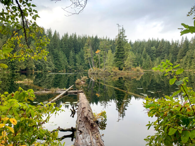
Stump Lake. Photo: Taryn Eyton
Once the two trails reconnect, continue following the trail through a beautiful mossy forest as you catch glimpses of the Cheekeye River through the trees to your left. There are two unmarked side trails down to the river where you can look downstream and get a great view of the Tantalus Mountain Range across the valley.
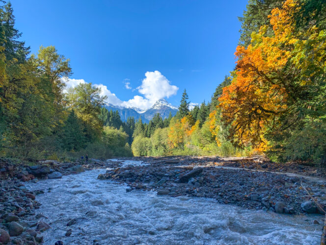
View of the Tantalus Mountains from the Cheekeye River. Photo: Taryn Eyton
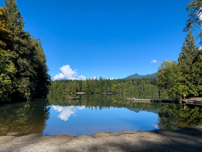
Leaving the river, follow the trail up a small hill covered in ferns, then continue through the forest for another kilometre. Arrive at a junction and turn right on a spur trail to visit the second of the four lakes. The trail dead-ends at a viewpoint on the shores of Fawn Lake. Take a minute to soak up the scenery. If the weather is calm, you’ll be treated to gorgeous reflections.
Retrace your steps back to the main trail, then turn right on a gravel road, following signs for Edith Lake. This section of trail is shared with mountain bikers, so stay alert. Pass an outhouse, then go straight at the next intersection, staying on the gravel road towards Edith Lake.
Once you reach the shores of Edith Lake, turn right onto a signed trail for Alice Lake. The trail descends through the forest on switchbacks and then more gently beside a creek. At the bottom of the hill emerge from the forest in a parking lot at the south end of Alice Lake, the fourth lake of your hike.
Alice Lake South Beach. Photo: Taryn Eyton
Turn left and walk around the shoreline of the lake, picking up a trail as you leave the grassy beach area. The path curls around the edge of the lake, climbing a small hill before returning back to water level at the north beach. Finish your hike by heading to the day-use parking lot just behind the beach.